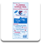
Made expressly for anglers, Fish-n-Maps include 20-foot underwater depth contours, fish locations, onshore elevation contours, tree ID, boat ramps, roads, campgrounds and facilities. Water/tear resistant.
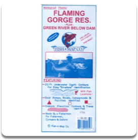
Made expressly for anglers, Fish-n-Maps include 20-foot underwater depth contours, fish locations, onshore elevation contours, tree ID, boat ramps, roads, campgrounds and facilities. Water/tear resistant.